

USFS · Data Source: Recreation.gov
About
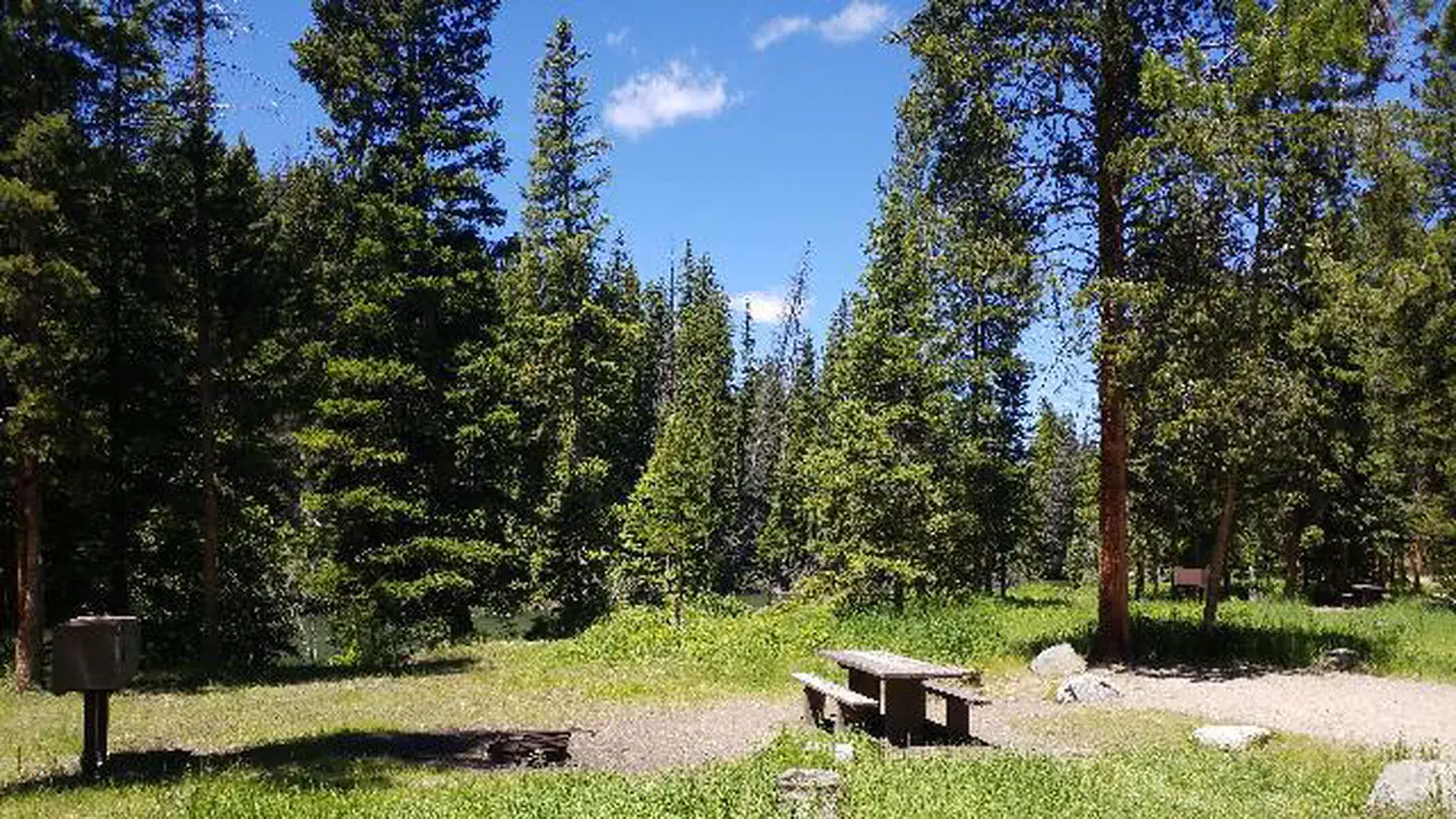
Overview Hunter Peak Campground is located on the Chief Joseph Scenic Highway/State Highway 296, approximately four miles south of the junction with scenic Beartooth Highway/U.S. Highway 12. The campground is about 60 miles northeast of Cody, in northwestern Wyoming. Recreation The Clarks Fork offers outstanding fishing opportunities for rainbow and cutthroat trout. Many hiking trails are located in the area, including the Clarks Fork Trailhead, which is across the highway from the campground. Facilities This small campground contains single-family campsites, each equipped with a table and campfire ring. Vault toilets, hand-pumped water, and trash collection are provided. A host is on-site. Firewood may be gathered in the area. Fuel and sundries are available in the nearby community of Crandall. Sites 5, 6, 7, and 8 are available for reservation. Please click on the "Check Availability" button for more information. Natural Features The campground sits on the banks of the Clarks Fork of the Yellowstone River, at an elevation of 6,500 feet. A mixed conifer forest covers the campground. A variety of wildlife, including grizzly bear, deer and elk makes its home in the area. Nearby Attractions The Beartooth Highway was deemed "the most beautiful drive in America," by the late Charles Kuralt. It snakes across the rugged Beartooth Mountains from Red Lodge to Cooke City, Mont., and is the highest elevation highway in the Northern Rockies. Along the way, visitors are treated to sweeping views and plentiful outdoor recreation opportunities. Yellowstone National Park's northeast entrance is approximately 24 miles from the campground via the Beartooth Highway. The park offers unparalleled wildlife viewing opportunities, as well as breathtaking scenery and unique geological features.
Around this stay
Nearest surrounding services and recreation within ~25 mi — not on-site amenities.
- 17 mi
fuel station
Exxon
- 7.0 mi
potable water
Crazy Creek Campground / National Forest
- 0.2 mi
trailhead
Clarks Fork Trailhead
- 3.4 mi
attraction
Pilot-Index overlook
- 3.9 mi
recreation site
Lake Creek Wayside
No dump station found within ~25 mi. Plan dump access before you arrive.
Contact & access
- 203A YELLOWSTONE AVE · CODY, WY 82414
- 307-527-6921 - THIS NUMBER IS NOT FOR RESERVATIONS. FOR RESERVATION OR INQUIRIES ABOUT RESERVATION STATUS, GO TO RECREATION.GOV 1-877-444-6777
Reservations & demand
August weekends are typically reserved about 79 days ahead.
Based on 20 Recreation.gov reservations (Oct 2023–Sep 2024). Historical demand — not live availability.
Outbound provider links only. Roam Atlas does not book sites or show live availability.
Source and verification
Last verified: 10/6/2026
See the Sources tab for provenance detail.