

Data Source: Recreation.gov
About
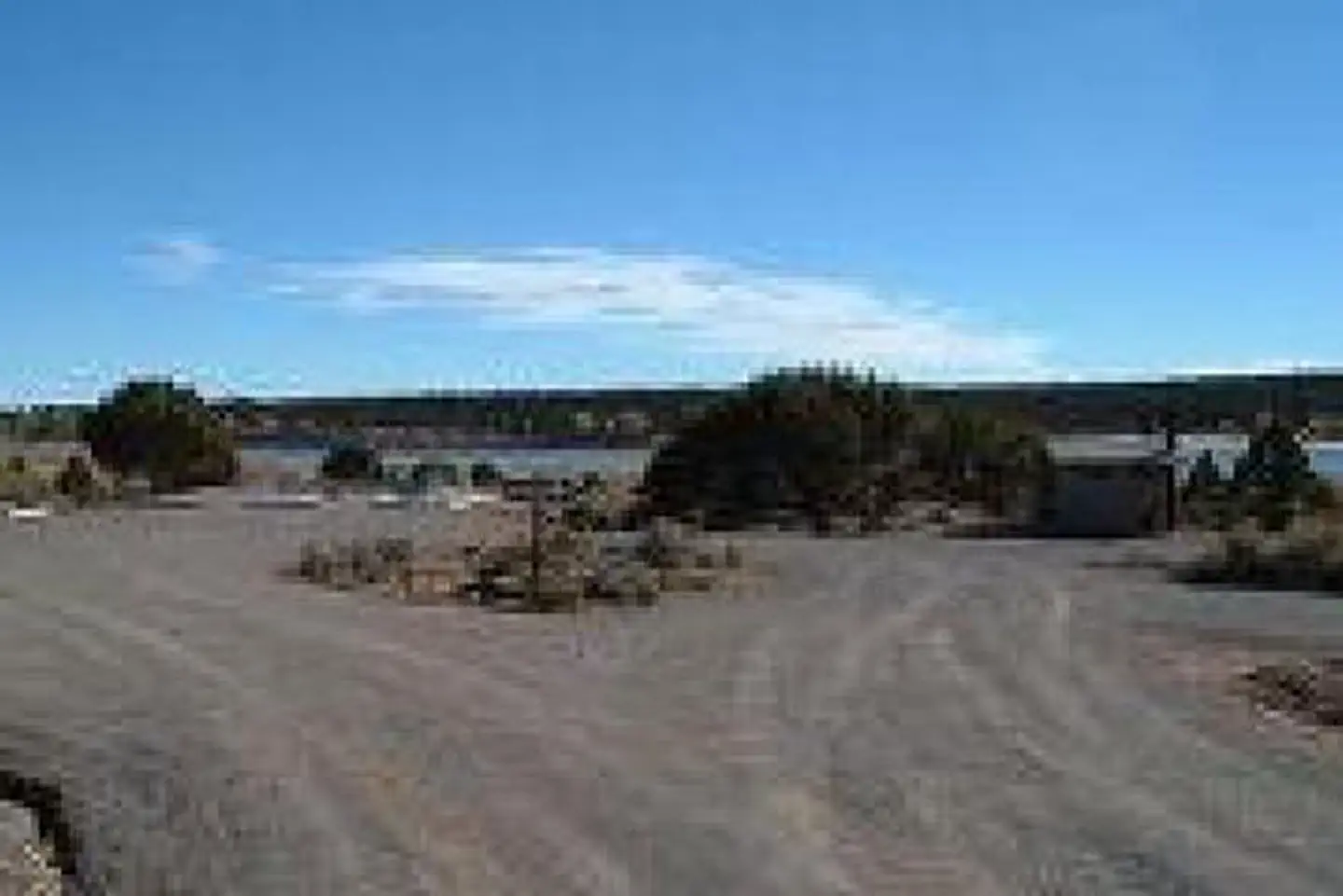
Overview Lower Bowns Campground is located on the east side of Boulder Mountain on the shore of Lower Bowns Reservoir at an elevation of 7,000 feet. Visitors enjoy boating, fishing and exploring local trails. View Lower Bowns Campground Map Recreation Popular activities in the area include hiking, biking, hunting and riding the Rosebud ATV Trail. Lower Bowns Reservoir offers boating, canoeing and fishing for rainbow, brook and cutthroat trout. Facilities This campground contains three accessible sites: one group site can accommodate up to 50 people, and two single sites can each accommodate up to 10 people. Vault toilets are provided, and roads and parking spurs throughout the site are gravel. Natural Features The campground is sparsely forested with pinyon pines and juniper, which offer only limited shade. Boulder Mountain lies to the west of the site, and Capitol Reef National Park's Waterpocket Fold and the Henry Mountains lie to the east. Nearby Attractions Capitol Reef National Park is just 45 minutes from the campground. This unique park offers excellent hiking trails, historic sites and breathtaking scenery. Sightseeing along Utah Highway 12, a National Scenic Byway, is very popular. Travelers visit from every corner of the world to gaze upon stunning red rock canyons and desert landscapes.
Around this stay
Nearest surrounding services and recreation within ~25 mi — not on-site amenities.
- 12 mi
dump station
Dump station
- 15 mi
fuel station
Phillips 66
- 12 mi
potable water
Dish Washing Station
- 5.2 mi
trailhead
Skyline-big Flat Trailhead
- 3.2 mi
attraction
Overlook Waterpocket Fold
Contact & access
- 138 South Main St. · Loa, UT 84747
Source and verification
Last verified: 10/11/2026
See the Sources tab for provenance detail.