

MALAD SUMMIT CAMPGROUND
federal · POCATELLO, ID
- fuel station7.4 mi
USFS · Data Source: Recreation.gov
About
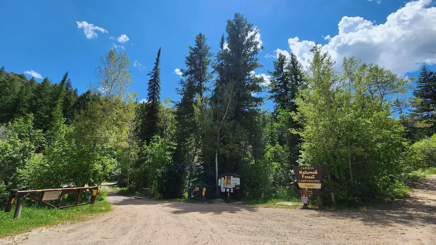
Overview Malad Summit Campground is situated next to Mill Creek, just 14 miles north of Malad, Idaho, at an elevation of 6,100 feet. Visitors enjoy hiking, horseback riding and off-road vehicle riding on the area's many trails. Recreation Mill Creek offers cutthroat and rainbow trout fishing. Numerous trails begin nearby, including the 12-mile multi-use Summit Trail, which connects with Farmers Canyon, East Elkhorn and Wright Creek trails. Old Canyon and South Canyon trails begin a short distance from the campground. Facilities The campground is open year-round and contains one large group site that can accommodate up to 125 people. It is equipped with large picnic tables, a serving table, a grill, a campfire ring with benches, tent pads and a gravel parking area. The campground has first-come, first-serve campsites and reservable campsites. Visitors can first check with the campground host for available campsites. If the campground host is not available, visitors must check if the campsite is occupied, and if available pay at the fee tube. Single-family campsites and one double site campsite are also available within the campground. Each campsite is equipped with a table, campfire ring, and grill. Vault toilets and drinking water are provided. Roads and parking spurs within the campground are gravel. Security is provided by the host and periodic patrols by the county sheriff. Malad Summit Campground is managed by Pinnacle Parks Llc under a special use permit with the Caribou-Targhee National Forest. For questions please contact 208-757-3999 between the hours of 8am and 9pm.. Natural Features The campground is settled in a dense forest of maple trees, which offer plentiful shade. Stately Douglas fir trees dot the landscape. The campground receives snow throughout the winter. Contact Info For facility specific information, please call (208) 757-3999.
Around this stay
Nearest surrounding services and recreation within ~25 mi — not on-site amenities.
- 7.4 mi
fuel station
Fuel station
- 12 mi
grocery
Thomas Market
- 18 mi
potable water
Potable water
- 7.9 mi
trailhead
Cherry Creek Trailhead
- 11 mi
attraction
Oneida Pioneer Museum
- 5.0 mi
recreation site
Boat launch
No dump station found within ~25 mi. Plan dump access before you arrive.
Contact & access
- 4350 CLIFFS DRIVE · POCATELLO, ID 83204
- 208-236-7500
Reservations & demand
August weekends are typically reserved about 37 days ahead.
Based on 22 Recreation.gov reservations (Oct 2023–Sep 2024). Historical demand — not live availability.
Outbound provider links only. Roam Atlas does not book sites or show live availability.
Source and verification
Last verified: 10/11/2026
See the Sources tab for provenance detail.