

Local staff · Data Source: Recreation.gov
About
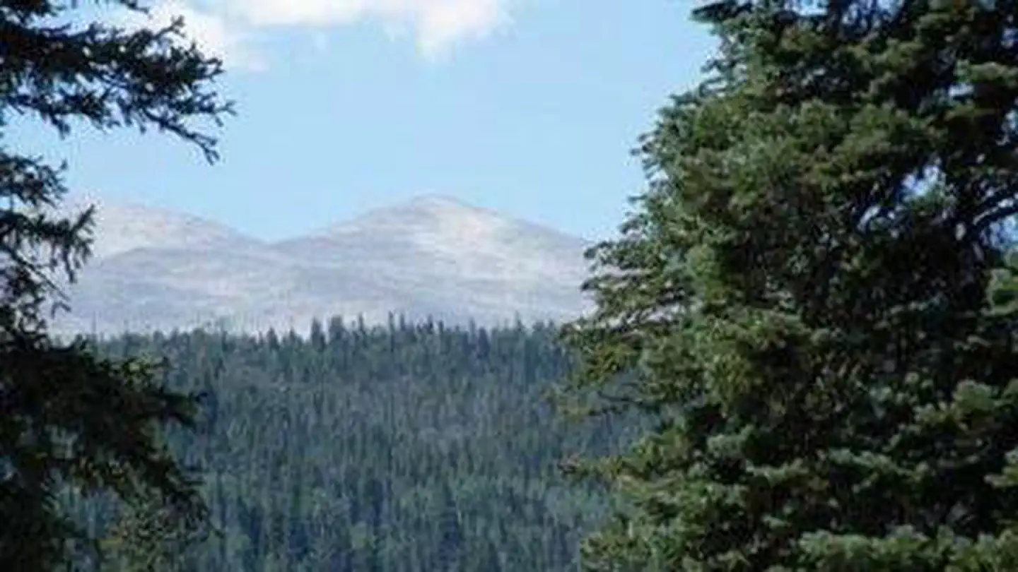
Overview Peaceful Valley Campground is situated in a glacial valley, on the banks of the Middle Saint Vrain Creek at an elevation of 8,500 feet in northern Colorado. The campground has some conifer trees with open grassy areas. Recreation The Middle Saint Vrain Creek is a good fly-fishing stream where anglers cast for rainbow, brown and cutthroat trout. Many trails in the vicinity are open to hiking and biking, including Sourdough and Buchanan Pass Trails. Mountain biking is allowed on the first five miles of Buchanan Pass Trail. The Bunce School Roads are popular among off-road enthusiasts. Facilities There are 17 sites in the campground. Nine are suitable for RV camping and eight are more suitable for tents. Each site has a picnic table, fire ring and grill. The maximum vehicle length that can be accommodated is 45 feet, although no utility hookups are available. There is a maximum of eight people per site; site #17 is oversized and will accommodate ten people. The roads in the campground are paved. There is one hand pump with potable water, trash dumpsters, vault toilets and firewood is for sale. Natural Features The campground is situated on the banks of the Middle Saint Vrain Creek in the mostly flat, glacial Peaceful Valley. A mixed conifer and aspen forest covers the area. Contact Info For facility specific information, please call (530) 529-0578. Nearby Attractions Rocky Mountain National Parkâ??s main entrance is 24 miles north in Estes Park. Estes Park is a full-service community. Charges & Cancellations Modifications for this campground must be made through Recreation.gov or by calling the call center at 1-877-444-6777 PRIOR to your reservation start date. Customers and contact center agents cannot modify reservations on or after the check-in date.
Around this stay
Nearest surrounding services and recreation within ~25 mi — not on-site amenities.
- 4.1 mi
fuel station
Ferncliff Food & Fuel
- < 0.1 mi
potable water
Potable water
- 0.7 mi
trailhead
Camprock Trailhead
- 0.2 mi
attraction
Peak-to-Peak Highway
- 1.1 mi
recreation site
Boat launch
No dump station found within ~25 mi. Plan dump access before you arrive.
Contact & access
- 9054 U.S Hwy 285 · Morrison, CO 80465
- 303-541-2500
Reservations & demand
October weekends are typically reserved about 58 days ahead.
Based on 39 Recreation.gov reservations (Oct 2023–Sep 2024). Historical demand — not live availability.
Outbound provider links only. Roam Atlas does not book sites or show live availability.
Source and verification
Last verified: 10/6/2026
See the Sources tab for provenance detail.