

SEATON CREEK CAMPGROUND
federal · Manistee, MI
- dump station9.4 mi
- fuel station4.1 mi
USDA BWC · Data Source: Recreation.gov
About
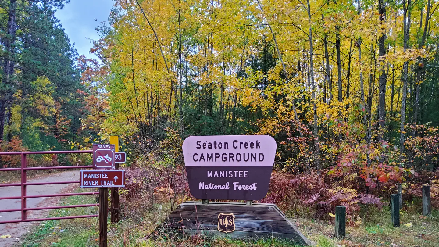
Overview Seaton Creek Campground adjoins Seaton Creek and is at the upper end of the backwater of Hodenpyl Dam Pond on the Big Manistee River. The forest surrounding the campground is mostly pine and the sites are rustic. The closest town is Mesick. Recreation The surrounding waters offer excellent fishing opportunities for both panfish (perch, bluegil, crappie, sunfish) and game fish (trout, bass, pike, salmon). For State Fishing Regulations consult the Michigan Department of Natural Resources website, website http://www.michigan.gov/dnr/ . Kayakers may access the campground by traveling up the very shallow Seaton Creek, however canoeing is not recommended unless you're putting in at the Hodenpyl Backwaters. From there, you can canoe the Big Manistee. There is a connector trail to the Manistee River Trail from this site. The North Country National Scenic Trail can be reached by crossing the suspension bridge over the Manistee River. The Upper Branch Trailhead is also nearby. Facilities Two group sites and 17 family sites area situated near a picnic area on the Hodenpyl Backwater of the Manistee River. There are two vault restroom buildings. Sites have fire rings and picnic tables. Drinking water is available. Natural Features The terrain surrounding Hodenpyl Dam Pond is characterized as hilly with a mix of hardwoods and conifers. Briar Hill, which has the second-highest elevation in the lower peninsula, is located about five miles east of Hodenpyl Dam Pond. A number of other tributaries enter Hodenpyl Dam Pond from the east, flowing off the slopes of Briar Hill. These streams are characterized by very high gradient and cold temperatures. They include Seaton Creek, Small Creek, Preston Creek, Cripple Creek, and several unnamed streams. These streams mostly host a mix of brown and brook trout, although a few have only brook trout. The trailhead for the Manistee River Trail is within the campground. Contact Info For facility specific information, please call (801) 226-3564.
Around this stay
Nearest surrounding services and recreation within ~25 mi — not on-site amenities.
- 9.4 mi
dump station
Dump station
- 4.1 mi
fuel station
Fuel station
- 10 mi
grocery
Larry's Grocery
- < 0.1 mi
potable water
Potable water
- 1.9 mi
trailhead
Marilla Trailhead
- 1.1 mi
attraction
Viewpoint
- 0.6 mi
recreation site
Boat launch
Contact & access
- P.O. Box 69 · Manistee, MI 49660
- 231-723-0141
Source and verification
Last verified: 10/11/2026
See the Sources tab for provenance detail.