

Joy Seevers · Data Source: Recreation.gov
About
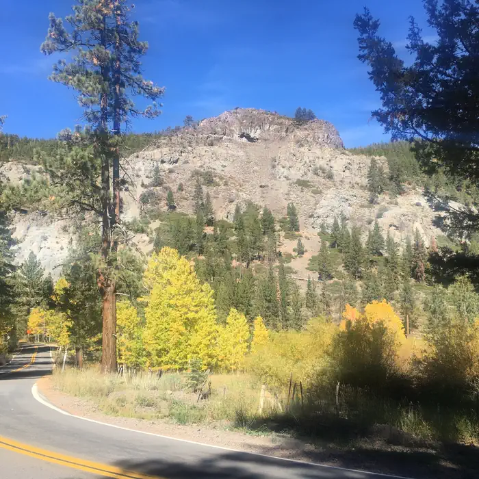
Overview Silver Creek Campground is located near the town of Markleeville on scenic Highway 4. Visitors enjoy fishing various waterways in the area and exploring the nearby Pacific Crest Trail. Recreation Anglers enjoy fishing the nearby East Fork Carson River, as well as other creeks in the vicinity. The Pacific Crest Trail can be accessed just 3 miles west of the site. Facilities This campground straddles Highway 4, creating two separate loops containing several single-family sites with picnic tables, food storage lockers and campfire rings with grills. Vault toilets, No Water Available, Dry Camping only and trash collection are provided. Firewood is available for purchase from the host. Natural Features The campground is situated in a beautiful, shady fir and pine forest on the mountainside just above Noble Creek. The elevation is 7,100 feet.
Around this stay
Nearest surrounding services and recreation within ~25 mi — not on-site amenities.
- 7.4 mi
fuel station
Fuel station
- 7.0 mi
potable water
Potable water
- 0.4 mi
trailhead
Noble Canyon
- 0.3 mi
attraction
Viewpoint
No dump station found within ~25 mi. Plan dump access before you arrive.
Contact & access
- P.O. BOX 104 · MARKLEEVILLE, CA 96120
Reservations & demand
August weekends are typically reserved about 37 days ahead.
Based on 75 Recreation.gov reservations (Oct 2023–Sep 2024). Historical demand — not live availability.
Outbound provider links only. Roam Atlas does not book sites or show live availability.
Source and verification
Last verified: 10/5/2026
See the Sources tab for provenance detail.